The Autumn Budget included a commitment, building on that in the Conservative manifesto, that could lead to Ordnance Survey’s MasterMap data being made available as open data. We want to see that happen. The composition of the new Geospatial Commission, along with its terms of reference, will be an indication of whether the government’s £80m investment is likely to achieve its aims.
By Peter Wells
The Autumn Budget states that the government will work with Ordnance Survey (OS) and a new Geospatial Commission to establish “how to open up freely the OS MasterMap data to UK-based small businesses in particular, under an Open Government Licence or through an alternative mechanism”. The Geospatial Commission itself will be supported by £40 million of new funding in each of the next two years. The press release about this commitment states:
The new Commission will draw together HM Land Registry, the Ordnance Survey, the British Geological Survey, the Valuation Office Agency, the UK Hydrographic Office and the Coal Authority with a view to: improving the access to, links between, and quality of their data looking at making more geospatial data available for free and without restriction setting regulation and policy in relation to geospatial data created by the public sector holding individual bodies to account for delivery against the geospatial strategy providing strategic oversight and direction across Whitehall and public bodies who operate in this area
£40m funding per year is a substantial commitment, and it will be largely up to the Geospatial Commission how it gets spent. It could be spent to substitute for the loss of revenue that OS would suffer from making MasterMap available as open data. It could be spent on revamped Geovation challenges to get more small businesses building new services on a foundation of open mapping data such as a newly opened OS MasterMap. It could be spent on publishing and using open data about housing and planning. It could be spent on transforming OS to adopt a sustainable business model that includes both publishing open data and paid-for service-level agreements. It could be spent on big consultancies redoing economic analyses, lawyers constructing new licences and working out how to define “UK-based small businesses”, negotiations with existing MasterMap customers and so on.
Some of these areas of investment are more transformative than others. Unlocking “up to £11 billion of extra value for the economy every year” requires more than playing around the edges of the status quo. It requires innovative systems-thinking suited to an age in which data is abundant: seeing data as infrastructure, understanding how data flows to and from different organisations and creates value in each, having a vision of the needs of the data ecosystem of the future rather than the needs of individual organisations today and tracing a route to get us there.
Whether the Geospatial Commission will be able to think in those ways will depend on who is part of it and on its ability to listen and learn from those outside it. Our assumption is that, like the National Infrastructure Commission, it will have a chair or co-chairs, a number of “great and good” commissioners, and a secretariat who do the leg work. Here are three key areas that we'll be looking at:
Composition
Good signs
A balanced mix of stakeholders from inside and outside government and across nations of the UK, including both business and civil society
Bad signs
Mostly chairs or CEOs of the relevant government agencies with a token independent voice or two
Direction
Good signs
Clear direction in the Terms of Reference that opening data for the whole of the UK is the goal and the focus should be on how to achieve that goal sustainably
Bad signs
Vague Terms of Reference or ones that focus on retaining returns to the Treasury from OS and other bodies
Operation
Good signs
Commitment to consultation, openness and transparency in the operations of the Commission, with an early invitation for evidence or event to bring a range of people together to debate what happens next
Bad signs
Decisions made behind closed doors with little visibility before the unveiling of a recommendation in May 2018
If there are other things that you will be looking for, or that you think we should be looking for, then do let us know. Geospatial data is the backbone of any country’s data infrastructure: MasterMap is like the M1. As such, the decisions made by the Geospatial Commission will have a huge impact on the economy and society. So pay attention. We want to use this commitment to create open, sustainable and impactful change that makes things better across the whole of the UK. We think the composition of the commission will be a strong indication of whether that will happen. What do you think?
If you have ideas or experience in open data that you'd like to share, pitch us a blog or tweet us at @ODIHQ.
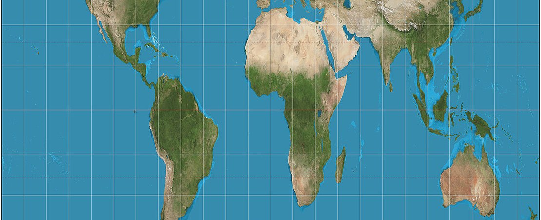
image: The Gall–Peters projection of the world map, (CC by 3.0)